|
|
 |
|
|
| |
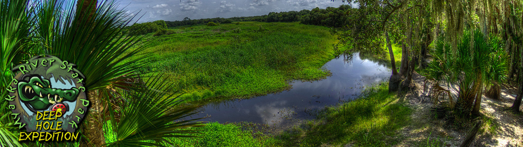
Myakka River State Park • Deep Hole Exploration Project Log Book |
|
|
| |
| Team: |
Curt Bowen, Jim Culter |
|
|
|
|
see video page for larger video format |
|
|
| |
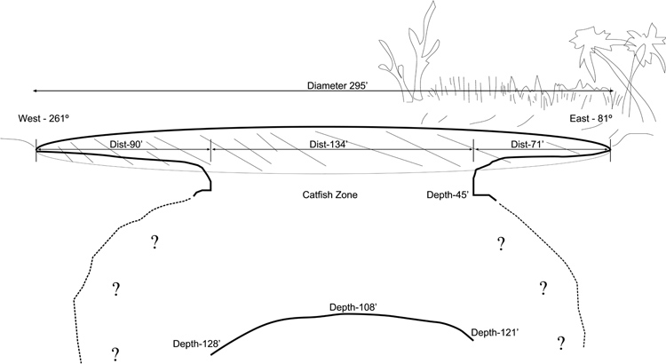
| Goals: |
| 1. Measure sink diameter from east to west and determine exact location of the hole within the surface pool |
|
| 2. Drop in a surface video camera and estimate visibility at depth |
|
| 3. Gather additional video and photography |
|
|
| |
| Notes: |
| 1. Survey: See map below |
|
| 2. Drop camera estimated water visibility at around 3 feet at 110 feet deep |
|
| The Myakka River flow was well below long term average levels and the entire sink perimeter was exposed with the exception of the small river inflow channel on the east side. The only flow observed was resulting from wind driven movement. Measured depths were for Myakka River gage levels of 1.5 ft. as recorded at control near Laurel (USGS gage 02298880). see below url: |
|
| http://goo.gl/6VnCR |
|
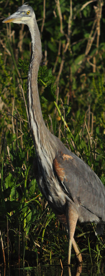
| Notable wildlife: American alligator (Alligator mississippiensis),Black Vulture (Coragyps atratus), abundant fish notably catfish, abundant shoreline mussel shells Florida shiny spike (Elliptio buckleyi)and occasional snail shells |
|
|
| |
 |
|
|
|
|
|
|
|
|
|
|
|